Farmland at Nant-y-gwyrddail
Introduction
The photograph on this page of Farmland at Nant-y-gwyrddail by Keith Havercroft as part of the Geograph project.
The Geograph project started in 2005 with the aim of publishing, organising and preserving representative images for every square kilometre of Great Britain, Ireland and the Isle of Man.

There are currently over 7.5m images from over 14,400 individuals and you can help contribute to the project by visiting https://www.geograph.org.uk
Farmland at Nant-y-gwyrddail
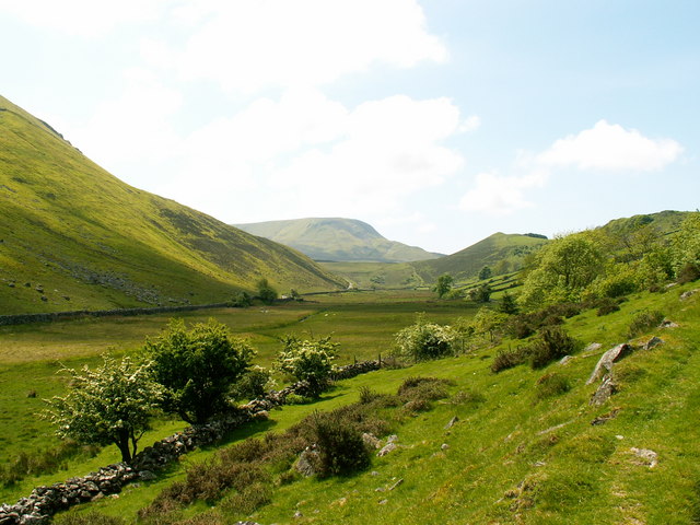
Image: © Keith Havercroft Taken: 31 May 2006
Ascending a farm path heading westwards towards the Cregennen Lakes in the valley below Cadair Idris
Images are licensed for reuse under creativecommons.org/licenses/by-sa/2.0
Image Location
Latitude
52.709147
Longitude
-3.965648