The End of Piccadilly
Introduction
The photograph on this page of The End of Piccadilly by Gerald England as part of the Geograph project.
The Geograph project started in 2005 with the aim of publishing, organising and preserving representative images for every square kilometre of Great Britain, Ireland and the Isle of Man.

There are currently over 7.5m images from over 14,400 individuals and you can help contribute to the project by visiting https://www.geograph.org.uk
The End of Piccadilly
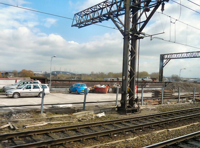
Image: © Gerald England Taken: 8 Apr 2010
The very end of the carpark at Piccadilly Station before the railway crosses the A635 Mancunian Way. In the background is the City of Manchester Stadium Image in Image
Images are licensed for reuse under creativecommons.org/licenses/by-sa/2.0
Image Location
Latitude
53.475105
Longitude
-2.220532