Hand and Pen
Introduction
The photograph on this page of Hand and Pen by Derek Harper as part of the Geograph project.
The Geograph project started in 2005 with the aim of publishing, organising and preserving representative images for every square kilometre of Great Britain, Ireland and the Isle of Man.

There are currently over 7.5m images from over 14,400 individuals and you can help contribute to the project by visiting https://www.geograph.org.uk
Hand and Pen
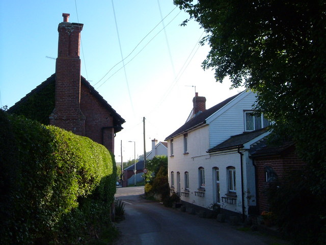
Image: © Derek Harper Taken: 2 Jun 2006
The lane from Strete Ralegh approaches the crossroads with the former A30 at Hand and Pen, south of Whimple. See Image] for the reverse view.
Images are licensed for reuse under creativecommons.org/licenses/by-sa/2.0
Image Location


Leaflet Map data © OpenStreetMap
Latitude
50.753915
Longitude
-3.355191