Carriageway widening of the M4
Introduction
The photograph on this page of Carriageway widening of the M4 by Andy Potter as part of the Geograph project.
The Geograph project started in 2005 with the aim of publishing, organising and preserving representative images for every square kilometre of Great Britain, Ireland and the Isle of Man.

There are currently over 7.5m images from over 14,400 individuals and you can help contribute to the project by visiting https://www.geograph.org.uk
Carriageway widening of the M4
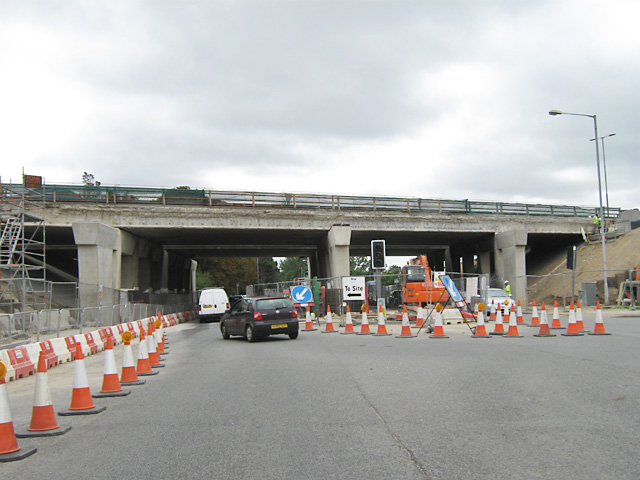
Image: © Andy Potter Taken: 15 Aug 2009
Seen from the Windsor Road - Ragstone Road traffic lights.
Images are licensed for reuse under creativecommons.org/licenses/by-sa/2.0
Image Location
Latitude
51.501647
Longitude
-0.6006