Waterfall on the Garrel
Introduction
The photograph on this page of Waterfall on the Garrel by Robert Murray as part of the Geograph project.
The Geograph project started in 2005 with the aim of publishing, organising and preserving representative images for every square kilometre of Great Britain, Ireland and the Isle of Man.

There are currently over 7.5m images from over 14,400 individuals and you can help contribute to the project by visiting https://www.geograph.org.uk
Waterfall on the Garrel
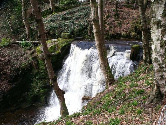
Image: © Robert Murray Taken: 7 Apr 2010
Probably not a natural waterfall. The First Ed. O.S. [Stirlingshire Sht. XXVIII.8. www.nls.uk/maps/os/25inch/view/?sid=74983722] surveyed in 1859 shows a sluice in the same position as the one visible in this photo with the lade running into a chemical works. Man made or natural it is quite spectacular in a good head of water.
Images are licensed for reuse under creativecommons.org/licenses/by-sa/2.0
Image Location
Latitude
55.983559
Longitude
-4.056197