Byway to Orlestone Wents
Introduction
The photograph on this page of Byway to Orlestone Wents by David Anstiss as part of the Geograph project.
The Geograph project started in 2005 with the aim of publishing, organising and preserving representative images for every square kilometre of Great Britain, Ireland and the Isle of Man.

There are currently over 7.5m images from over 14,400 individuals and you can help contribute to the project by visiting https://www.geograph.org.uk
Byway to Orlestone Wents
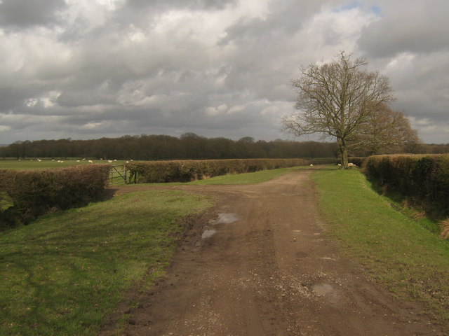
Image: © David Anstiss Taken: 5 Apr 2010
This track leads from Coldblow Farm towards another byway near Courthope Wood. Courthope Wood West is seen in the background. The track leads past two very large sheep fields, some sheep are on the track due to ungated gaps in the hedge.
Images are licensed for reuse under creativecommons.org/licenses/by-sa/2.0
Image Location
Latitude
51.086073
Longitude
0.803471