Public footpath to Perrystone Hill
Introduction
The photograph on this page of Public footpath to Perrystone Hill by Trevor Rickard as part of the Geograph project.
The Geograph project started in 2005 with the aim of publishing, organising and preserving representative images for every square kilometre of Great Britain, Ireland and the Isle of Man.

There are currently over 7.5m images from over 14,400 individuals and you can help contribute to the project by visiting https://www.geograph.org.uk
Public footpath to Perrystone Hill
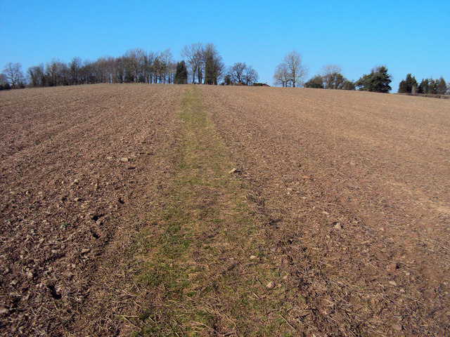
Image: © Trevor Rickard Taken: 7 Mar 2010
Heading north across the field to the top of the hill in the trees. The considerate farmer here has left a strip in cultivation for walkers. Part of the excellent Herefordshire Trail - http://www.herefordshiretrail.com/
Images are licensed for reuse under creativecommons.org/licenses/by-sa/2.0
Image Location


Leaflet Map data © OpenStreetMap
Latitude
51.958099
Longitude
-2.532286