Pitts Cleave Industrial Estate and Quarry
Introduction
The photograph on this page of Pitts Cleave Industrial Estate and Quarry by Paul as part of the Geograph project.
The Geograph project started in 2005 with the aim of publishing, organising and preserving representative images for every square kilometre of Great Britain, Ireland and the Isle of Man.

There are currently over 7.5m images from over 14,400 individuals and you can help contribute to the project by visiting https://www.geograph.org.uk
Pitts Cleave Industrial Estate and Quarry
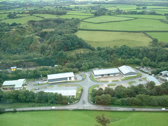
Image: © Paul Taken: 25 Aug 2009
Elevated view of the industrial estate situated in the old crusher and block making area. The old quarry pits can be seen behind the estate. Further views over farmland towards Moorshop.
Images are licensed for reuse under creativecommons.org/licenses/by-sa/2.0
Image Location


Leaflet Map data © OpenStreetMap
Latitude
50.565294
Longitude
-4.122163