World's Wonder Public House, Kenardington
Introduction
The photograph on this page of World's Wonder Public House, Kenardington by David Anstiss as part of the Geograph project.
The Geograph project started in 2005 with the aim of publishing, organising and preserving representative images for every square kilometre of Great Britain, Ireland and the Isle of Man.

There are currently over 7.5m images from over 14,400 individuals and you can help contribute to the project by visiting https://www.geograph.org.uk
World's Wonder Public House, Kenardington
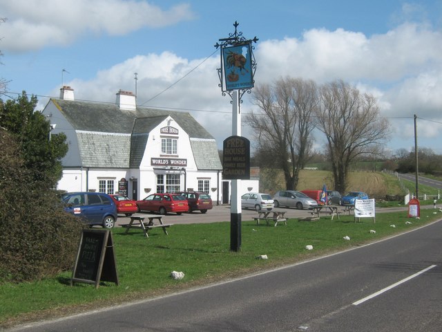
Image: © David Anstiss Taken: 5 Apr 2010
Independent Public House and Gastro Restaurant on the B2067 between Kenardington and Warehorne. See http://www.worldswonder.co.uk/ for more details and mentions of the 2009 Gastro Pub Award Finalist.
Images are licensed for reuse under creativecommons.org/licenses/by-sa/2.0
Image Location
Latitude
51.061543
Longitude
0.821114