Churchlands Farm
Introduction
The photograph on this page of Churchlands Farm by Simon Carey as part of the Geograph project.
The Geograph project started in 2005 with the aim of publishing, organising and preserving representative images for every square kilometre of Great Britain, Ireland and the Isle of Man.

There are currently over 7.5m images from over 14,400 individuals and you can help contribute to the project by visiting https://www.geograph.org.uk
Churchlands Farm
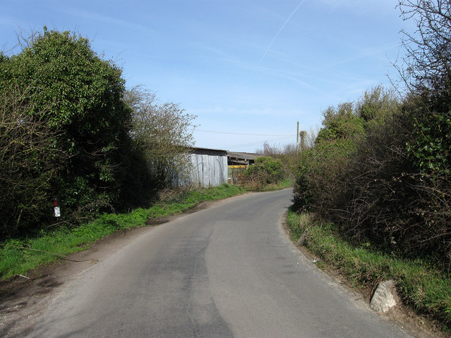
Image: © Simon Carey Taken: 6 Apr 2010
The farm is relatively recent as it does not appear on the 1927 map though some outbuildings exist by 1951. Two anti-tank cylinders are visible on the right hand side of the road that would have formed a roadblock at this point during the Second World War.
Images are licensed for reuse under creativecommons.org/licenses/by-sa/2.0
Image Location
Latitude
50.824734
Longitude
0.336214