A43
Introduction
The photograph on this page of A43 by Burgess Von Thunen as part of the Geograph project.
The Geograph project started in 2005 with the aim of publishing, organising and preserving representative images for every square kilometre of Great Britain, Ireland and the Isle of Man.

There are currently over 7.5m images from over 14,400 individuals and you can help contribute to the project by visiting https://www.geograph.org.uk
A43
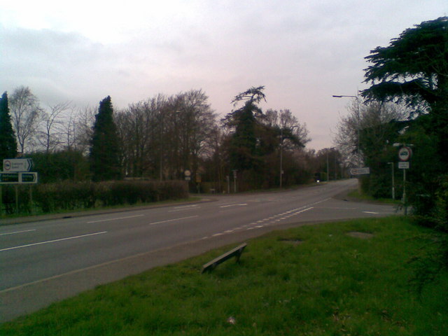
Image: © Burgess Von Thunen Taken: 7 Apr 2010
Where Thorpeville becomes Park View. You won't normally see it this quiet.
Images are licensed for reuse under creativecommons.org/licenses/by-sa/2.0
Image Location
Latitude
52.284742
Longitude
-0.841265