Beddington: The Wandle Trail
Introduction
The photograph on this page of Beddington: The Wandle Trail by Dr Neil Clifton as part of the Geograph project.
The Geograph project started in 2005 with the aim of publishing, organising and preserving representative images for every square kilometre of Great Britain, Ireland and the Isle of Man.

There are currently over 7.5m images from over 14,400 individuals and you can help contribute to the project by visiting https://www.geograph.org.uk
Beddington: The Wandle Trail
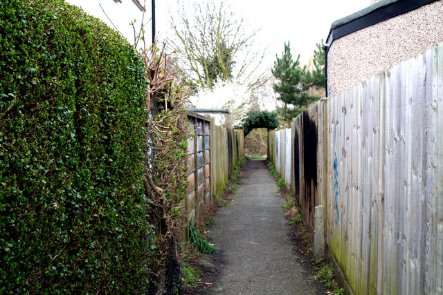
Image: © Dr Neil Clifton Taken: 5 Apr 2010
Looking west, this shows the passage which leads out of Crispin Crescent to re-join the river.
Images are licensed for reuse under creativecommons.org/licenses/by-sa/2.0
Image Location
Latitude
51.373364
Longitude
-0.136272