Jumble of colourful housing, Upper Borth
Introduction
The photograph on this page of Jumble of colourful housing, Upper Borth by Chris Denny as part of the Geograph project.
The Geograph project started in 2005 with the aim of publishing, organising and preserving representative images for every square kilometre of Great Britain, Ireland and the Isle of Man.

There are currently over 7.5m images from over 14,400 individuals and you can help contribute to the project by visiting https://www.geograph.org.uk
Jumble of colourful housing, Upper Borth
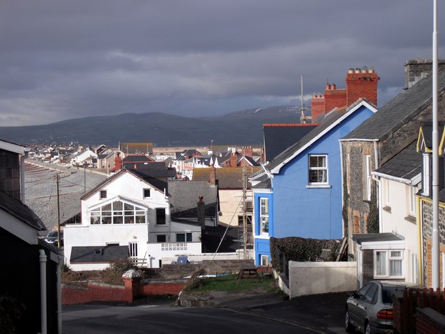
Image: © Chris Denny Taken: 2 Apr 2010
At the bottom of the steep hill from Clarach, the houses, although nominally lining the road, appear as a rather chaotic jumble.
Images are licensed for reuse under creativecommons.org/licenses/by-sa/2.0
Image Location
Latitude
52.47967
Longitude
-4.05171