Kings Avenue, Upperton
Introduction
The photograph on this page of Kings Avenue, Upperton by Simon Carey as part of the Geograph project.
The Geograph project started in 2005 with the aim of publishing, organising and preserving representative images for every square kilometre of Great Britain, Ireland and the Isle of Man.

There are currently over 7.5m images from over 14,400 individuals and you can help contribute to the project by visiting https://www.geograph.org.uk
Kings Avenue, Upperton
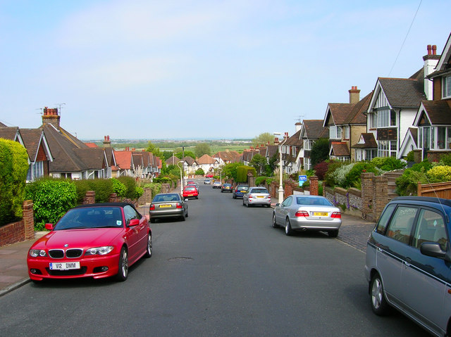
Image: © Simon Carey Taken: 2 Jun 2006
Looking towards the A2021 and Eastbourne Level beyond.
Images are licensed for reuse under creativecommons.org/licenses/by-sa/2.0
Image Location
Latitude
50.780126
Longitude
0.272421