6 and 7 The Cross
Introduction
The photograph on this page of 6 and 7 The Cross by Anne Burgess as part of the Geograph project.
The Geograph project started in 2005 with the aim of publishing, organising and preserving representative images for every square kilometre of Great Britain, Ireland and the Isle of Man.

There are currently over 7.5m images from over 14,400 individuals and you can help contribute to the project by visiting https://www.geograph.org.uk
6 and 7 The Cross
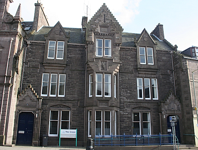
Image: © Anne Burgess Taken: 2 Apr 2010
This was a Category B listed building but has been downgraded to C(S) because its value is as part of a group rather than as an individual building. It was built in 1862 for the National Bank to plans by David MacGibbon, and later became a branch of the Royal Bank of Scotland. It stands immediately next door to Image] and is just as difficult to photograph well because it too faces north. It is also part of the premises of Angus Council.
Images are licensed for reuse under creativecommons.org/licenses/by-sa/2.0
Image Location
Latitude
56.643865
Longitude
-2.887831