Hydneye Bridge
Introduction
The photograph on this page of Hydneye Bridge by Simon Carey as part of the Geograph project.
The Geograph project started in 2005 with the aim of publishing, organising and preserving representative images for every square kilometre of Great Britain, Ireland and the Isle of Man.

There are currently over 7.5m images from over 14,400 individuals and you can help contribute to the project by visiting https://www.geograph.org.uk
Hydneye Bridge
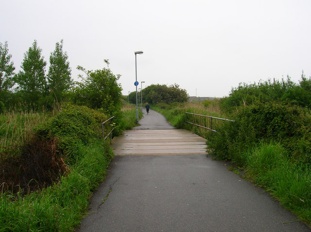
Image: © Simon Carey Taken: 2 Jun 2006
Carrying the old drove road over Willingdon Sewer. Hydneye itself is a lost village which in medieval times had a small anchorage.
Images are licensed for reuse under creativecommons.org/licenses/by-sa/2.0
Image Location
Latitude
50.800459
Longitude
0.290439