Sluice, Willingdon and West Langney Sewer
Introduction
The photograph on this page of Sluice, Willingdon and West Langney Sewer by Simon Carey as part of the Geograph project.
The Geograph project started in 2005 with the aim of publishing, organising and preserving representative images for every square kilometre of Great Britain, Ireland and the Isle of Man.

There are currently over 7.5m images from over 14,400 individuals and you can help contribute to the project by visiting https://www.geograph.org.uk
Sluice, Willingdon and West Langney Sewer
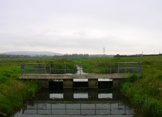
Image: © Simon Carey Taken: 2 Jun 2006
One of the many drainage ditches that cross Willingdon Level. Coombe Hill is in the background.
Images are licensed for reuse under creativecommons.org/licenses/by-sa/2.0
Image Location
Latitude
50.811547
Longitude
0.275366