The White Bull Inn, Gisburn
Introduction
The photograph on this page of The White Bull Inn, Gisburn by Patrick as part of the Geograph project.
The Geograph project started in 2005 with the aim of publishing, organising and preserving representative images for every square kilometre of Great Britain, Ireland and the Isle of Man.

There are currently over 7.5m images from over 14,400 individuals and you can help contribute to the project by visiting https://www.geograph.org.uk
The White Bull Inn, Gisburn
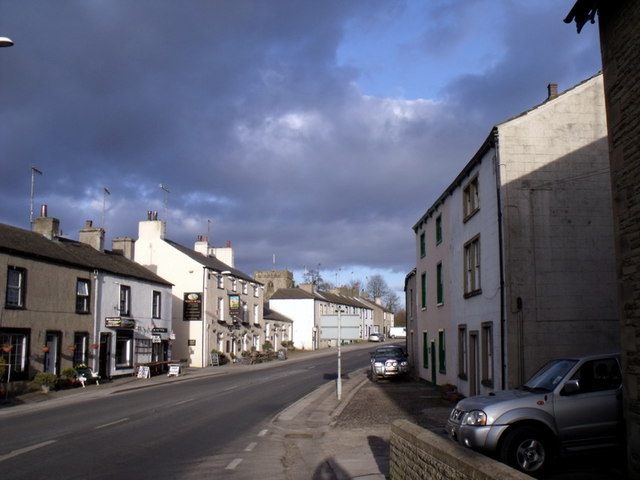
Image: © Patrick Taken: 14 Mar 2010
A welcome pint at the end of this stage of the Ribble Way (starting at Brungerley Bridge) Image
Images are licensed for reuse under creativecommons.org/licenses/by-sa/2.0
Image Location
Latitude
53.9353
Longitude
-2.26347