The canal between Harrow Road and Kensal Road
Introduction
The photograph on this page of The canal between Harrow Road and Kensal Road by Natasha Ceridwen de Chroustchoff as part of the Geograph project.
The Geograph project started in 2005 with the aim of publishing, organising and preserving representative images for every square kilometre of Great Britain, Ireland and the Isle of Man.

There are currently over 7.5m images from over 14,400 individuals and you can help contribute to the project by visiting https://www.geograph.org.uk
The canal between Harrow Road and Kensal Road
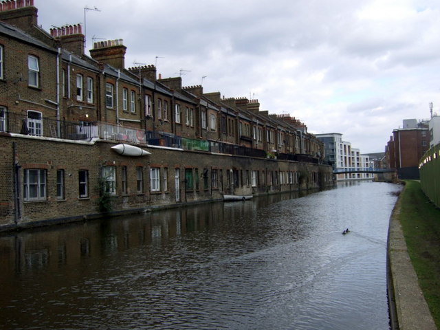
Image: © Natasha Ceridwen de Chroustchoff Taken: 14 Mar 2010
Looking east along the canal with terraced houses in Harrow Road on the left, Wedlake Street footbridge ahead and beyond that Image] On the right the towpath is (March 2010) closed to allow demolition work to take place on the adjacent building.
Images are licensed for reuse under creativecommons.org/licenses/by-sa/2.0
Image Location
Latitude
51.526635
Longitude
-0.207868