Near Blairs
Introduction
The photograph on this page of Near Blairs by Anne Burgess as part of the Geograph project.
The Geograph project started in 2005 with the aim of publishing, organising and preserving representative images for every square kilometre of Great Britain, Ireland and the Isle of Man.

There are currently over 7.5m images from over 14,400 individuals and you can help contribute to the project by visiting https://www.geograph.org.uk
Near Blairs
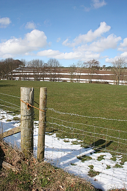
Image: © Anne Burgess Taken: 2 Apr 2010
The grassy fields are almost clear of the snow, but there is still some lying on the ploughed fields.
Images are licensed for reuse under creativecommons.org/licenses/by-sa/2.0
Image Location
Latitude
56.970865
Longitude
-2.270554