Low Luckens Farm & River Lyne
Introduction
The photograph on this page of Low Luckens Farm & River Lyne by Lynne Kirton as part of the Geograph project.
The Geograph project started in 2005 with the aim of publishing, organising and preserving representative images for every square kilometre of Great Britain, Ireland and the Isle of Man.

There are currently over 7.5m images from over 14,400 individuals and you can help contribute to the project by visiting https://www.geograph.org.uk
Low Luckens Farm & River Lyne
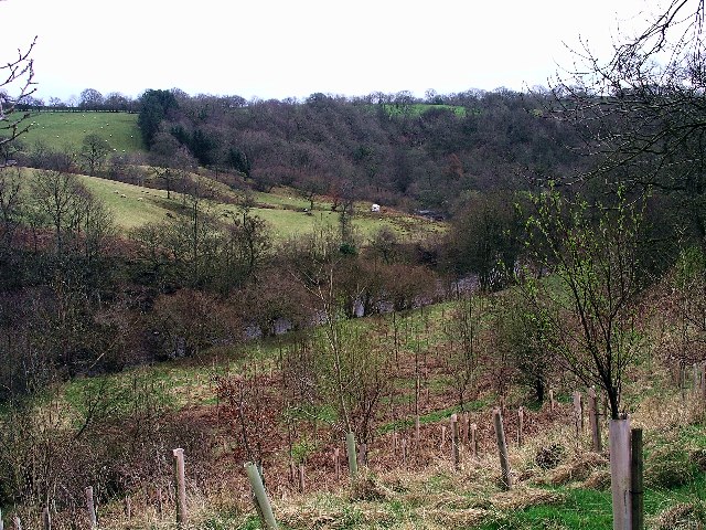
Image: © Lynne Kirton Taken: 26 Mar 2005
Low Luckens is an organic farm & resource centre on the River Lyne in N.E. Cumbria
Images are licensed for reuse under creativecommons.org/licenses/by-sa/2.0
Image Location


Leaflet Map data © OpenStreetMap
Latitude
55.045303
Longitude
-2.794992