Carrickrovaddy Townland
Introduction
The photograph on this page of Carrickrovaddy Townland by Dean Molyneaux as part of the Geograph project.
The Geograph project started in 2005 with the aim of publishing, organising and preserving representative images for every square kilometre of Great Britain, Ireland and the Isle of Man.

There are currently over 7.5m images from over 14,400 individuals and you can help contribute to the project by visiting https://www.geograph.org.uk
Carrickrovaddy Townland
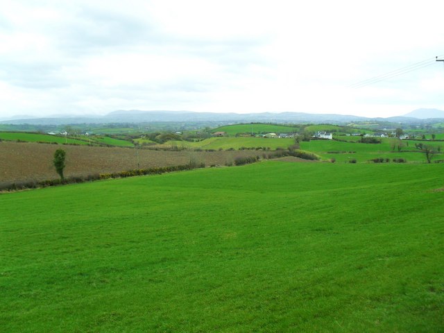
Image: © Dean Molyneaux Taken: 5 Apr 2010
Looking down from Barr Hill towards the Mournes and Slieve Gullion.
Images are licensed for reuse under creativecommons.org/licenses/by-sa/2.0
Image Location
Latitude
54.235443
Longitude
-6.345954