Clitheroe Cemetery
Introduction
The photograph on this page of Clitheroe Cemetery by Patrick as part of the Geograph project.
The Geograph project started in 2005 with the aim of publishing, organising and preserving representative images for every square kilometre of Great Britain, Ireland and the Isle of Man.

There are currently over 7.5m images from over 14,400 individuals and you can help contribute to the project by visiting https://www.geograph.org.uk
Clitheroe Cemetery
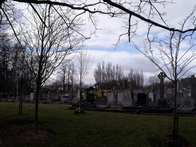
Image: © Patrick Taken: 13 Mar 2010
The Waddington Road Cemetery in Clitheroe is the only council owned burial area in the Ribble Valley. The cemetery services provide for traditional burials, Muslim burials, woodland burials and the burial of cremated remains.
Images are licensed for reuse under creativecommons.org/licenses/by-sa/2.0
Image Location
Latitude
53.878393
Longitude
-2.398794