Houses in The Brae, Bannockburn
Introduction
The photograph on this page of Houses in The Brae, Bannockburn by Richard Dorrell as part of the Geograph project.
The Geograph project started in 2005 with the aim of publishing, organising and preserving representative images for every square kilometre of Great Britain, Ireland and the Isle of Man.

There are currently over 7.5m images from over 14,400 individuals and you can help contribute to the project by visiting https://www.geograph.org.uk
Houses in The Brae, Bannockburn
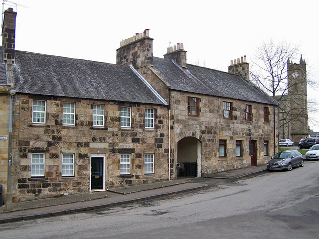
Image: © Richard Dorrell Taken: 3 Apr 2010
18th century houses built at the time when Bannockburn had a thriving carpet and weaving industry powered by the fast flowing Bannock Burn.
Images are licensed for reuse under creativecommons.org/licenses/by-sa/2.0
Image Location
Latitude
56.091038
Longitude
-3.916766