Gospel Hall, Bannockburn
Introduction
The photograph on this page of Gospel Hall, Bannockburn by Richard Dorrell as part of the Geograph project.
The Geograph project started in 2005 with the aim of publishing, organising and preserving representative images for every square kilometre of Great Britain, Ireland and the Isle of Man.

There are currently over 7.5m images from over 14,400 individuals and you can help contribute to the project by visiting https://www.geograph.org.uk
Gospel Hall, Bannockburn
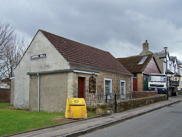
Image: © Richard Dorrell Taken: 3 Apr 2010
One of many places of worship close to the centre of the small town of Bannockburn. This Gospel Hall is located in East Murrayfield, close to its junction with Quakerfield.
Images are licensed for reuse under creativecommons.org/licenses/by-sa/2.0
Image Location
Latitude
56.090023
Longitude
-3.912697