Fifth Avenue, Kensal Rise
Introduction
The photograph on this page of Fifth Avenue, Kensal Rise by Natasha Ceridwen de Chroustchoff as part of the Geograph project.
The Geograph project started in 2005 with the aim of publishing, organising and preserving representative images for every square kilometre of Great Britain, Ireland and the Isle of Man.

There are currently over 7.5m images from over 14,400 individuals and you can help contribute to the project by visiting https://www.geograph.org.uk
Fifth Avenue, Kensal Rise
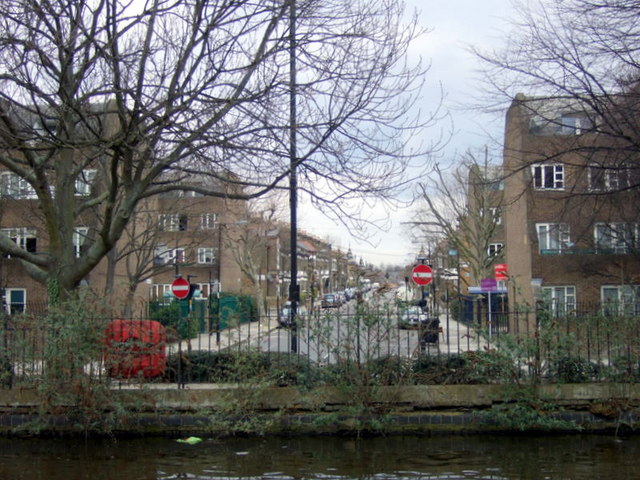
Image: © Natasha Ceridwen de Chroustchoff Taken: 14 Mar 2010
This is part of the Queen's Park estate, developed in the 1870s/80s by the Artizans', Labourers' and General Dwellings Company, with tree-lined roads and an area set aside for recreation. Gardening was encouraged and there was to be provision for an institute, cooperative stores, coal depot, dairy farm, baths, and reading rooms, but no public house. Avenues numbered from 1 to 6 were laid out leading north from Harrow Road and south to the canal, and connected by long cross streets. (Information from British History Online.)
Images are licensed for reuse under creativecommons.org/licenses/by-sa/2.0
Image Location
Latitude
51.527505
Longitude
-0.21187