Path on the side of Chase End Hill
Introduction
The photograph on this page of Path on the side of Chase End Hill by Bob Embleton as part of the Geograph project.
The Geograph project started in 2005 with the aim of publishing, organising and preserving representative images for every square kilometre of Great Britain, Ireland and the Isle of Man.

There are currently over 7.5m images from over 14,400 individuals and you can help contribute to the project by visiting https://www.geograph.org.uk
Path on the side of Chase End Hill
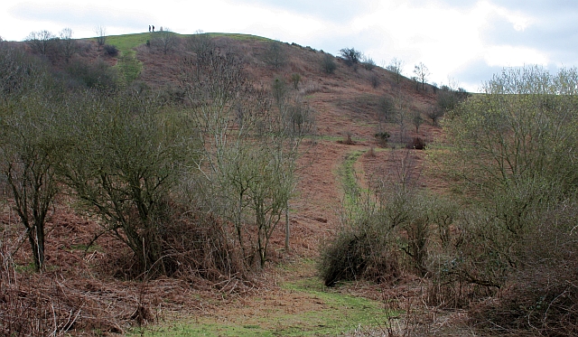
Image: © Bob Embleton Taken: 4 Apr 2010
Although the hill is the lowest of the Malvern Hills range the common land in which it sits (and the public can explore) is quite extensive, covering some 27 hectares. The trig point can be seen on the peak.
Images are licensed for reuse under creativecommons.org/licenses/by-sa/2.0
Image Location
Latitude
52.018476
Longitude
-2.351871