The Farm, Whimple
Introduction
The photograph on this page of The Farm, Whimple by Derek Harper as part of the Geograph project.
The Geograph project started in 2005 with the aim of publishing, organising and preserving representative images for every square kilometre of Great Britain, Ireland and the Isle of Man.

There are currently over 7.5m images from over 14,400 individuals and you can help contribute to the project by visiting https://www.geograph.org.uk
The Farm, Whimple
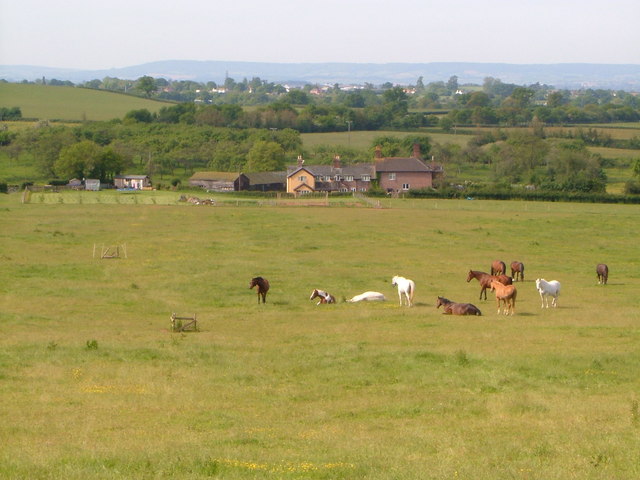
Image: © Derek Harper Taken: 1 Jun 2006
At least, that's the name on the 6" map of the farm beyond the horses. Beyond again, Rockbeare and the Haldon hills. Taken from the footpath northwest of Whimple that ends in a hedge Image
Images are licensed for reuse under creativecommons.org/licenses/by-sa/2.0
Image Location


Leaflet Map data © OpenStreetMap
Latitude
50.766352
Longitude
-3.368312