Drive to How Ham Farm
Introduction
The photograph on this page of Drive to How Ham Farm by Derek Harper as part of the Geograph project.
The Geograph project started in 2005 with the aim of publishing, organising and preserving representative images for every square kilometre of Great Britain, Ireland and the Isle of Man.

There are currently over 7.5m images from over 14,400 individuals and you can help contribute to the project by visiting https://www.geograph.org.uk
Drive to How Ham Farm
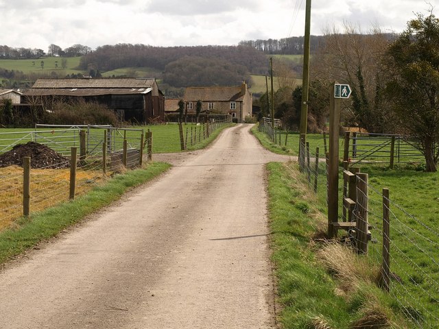
Image: © Derek Harper Taken: 1 Apr 2010
A slightly different view of Image with more zoom. By the time it has reached the farm, the drive has crossed into Image The footpath crossing Image leads around the farm, carrying the Gordano Round to Clapton Drove.
Images are licensed for reuse under creativecommons.org/licenses/by-sa/2.0
Image Location
Latitude
51.46687
Longitude
-2.780205