Junction of the paths
Introduction
The photograph on this page of Junction of the paths by Michael Dibb as part of the Geograph project.
The Geograph project started in 2005 with the aim of publishing, organising and preserving representative images for every square kilometre of Great Britain, Ireland and the Isle of Man.

There are currently over 7.5m images from over 14,400 individuals and you can help contribute to the project by visiting https://www.geograph.org.uk
Junction of the paths
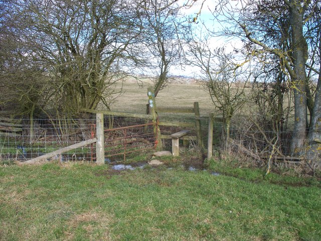
Image: © Michael Dibb Taken: 4 Mar 2010
One path comes from behind the camera, passes over the stile and heads towards Sutton-under-Brailes. The path crossing in front of the stile runs from Stourton to Wichford. From the left, this crossing path passes through the rusty iron gate and appears to follow the bed of a steam.
Images are licensed for reuse under creativecommons.org/licenses/by-sa/2.0
Image Location
Latitude
52.025834
Longitude
-1.562864