Road to Ausewell Cross
Introduction
The photograph on this page of Road to Ausewell Cross by Guy Wareham as part of the Geograph project.
The Geograph project started in 2005 with the aim of publishing, organising and preserving representative images for every square kilometre of Great Britain, Ireland and the Isle of Man.

There are currently over 7.5m images from over 14,400 individuals and you can help contribute to the project by visiting https://www.geograph.org.uk
Road to Ausewell Cross
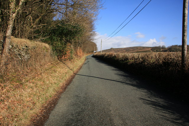
Image: © Guy Wareham Taken: 4 Apr 2010
This stretch of road is the only part of SX7371 that is accessible by the public. All of the woodland on the right of the road is private.
Images are licensed for reuse under creativecommons.org/licenses/by-sa/2.0
Image Location
Latitude
50.533437
Longitude
-3.779804