Conservation area in January 2010
Introduction
The photograph on this page of Conservation area in January 2010 by Keith Beavis as part of the Geograph project.
The Geograph project started in 2005 with the aim of publishing, organising and preserving representative images for every square kilometre of Great Britain, Ireland and the Isle of Man.

There are currently over 7.5m images from over 14,400 individuals and you can help contribute to the project by visiting https://www.geograph.org.uk
Conservation area in January 2010
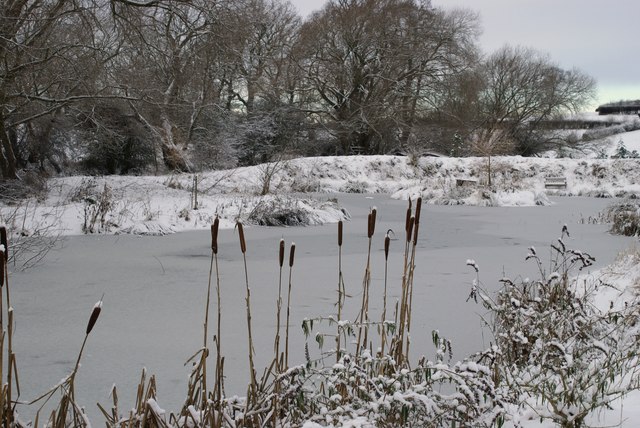
Image: © Keith Beavis Taken: 9 Jan 2010
Possibly the coldest winter in many years. Our pond has been frozen for three weeks.
Images are licensed for reuse under creativecommons.org/licenses/by-sa/2.0
Image Location
Latitude
54.51594
Longitude
-1.364635