Between Tippacott and Slocombeslade
Introduction
The photograph on this page of Between Tippacott and Slocombeslade by Barbara Cook as part of the Geograph project.
The Geograph project started in 2005 with the aim of publishing, organising and preserving representative images for every square kilometre of Great Britain, Ireland and the Isle of Man.

There are currently over 7.5m images from over 14,400 individuals and you can help contribute to the project by visiting https://www.geograph.org.uk
Between Tippacott and Slocombeslade
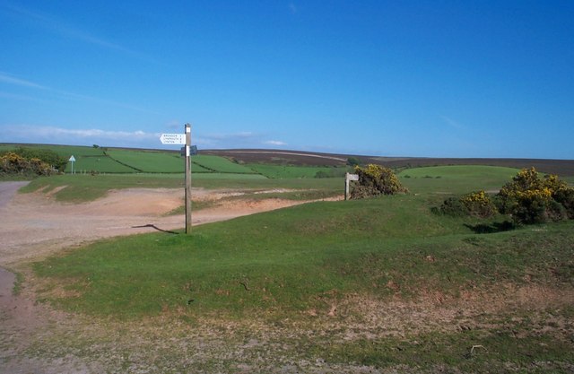
Image: © Barbara Cook Taken: 30 May 2006
The signpost reads, Brendon 1, Lynmouth 4, Lynton 5. The footpath signed right heads off into Lorna Doone country.
Images are licensed for reuse under creativecommons.org/licenses/by-sa/2.0
Image Location


Leaflet Map data © OpenStreetMap
Latitude
51.208965
Longitude
-3.759343