Kings Inch Road
Introduction
The photograph on this page of Kings Inch Road by G Laird as part of the Geograph project.
The Geograph project started in 2005 with the aim of publishing, organising and preserving representative images for every square kilometre of Great Britain, Ireland and the Isle of Man.

There are currently over 7.5m images from over 14,400 individuals and you can help contribute to the project by visiting https://www.geograph.org.uk
Kings Inch Road
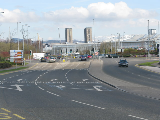
Image: © G Laird Taken: 2 Apr 2010
Traffic lights in the middle distance have replaced the roundabout indicated on the OS map. Beyond that we can see the western end of the Braehead Shopping Centre and in the far distance the snow covered Campsie Fells.
Images are licensed for reuse under creativecommons.org/licenses/by-sa/2.0
Image Location
Latitude
55.872621
Longitude
-4.368276