National Grid - Norton Sub-station
Introduction
The photograph on this page of National Grid - Norton Sub-station by Philip Barker as part of the Geograph project.
The Geograph project started in 2005 with the aim of publishing, organising and preserving representative images for every square kilometre of Great Britain, Ireland and the Isle of Man.

There are currently over 7.5m images from over 14,400 individuals and you can help contribute to the project by visiting https://www.geograph.org.uk
National Grid - Norton Sub-station
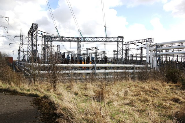
Image: © Philip Barker Taken: 3 Apr 2010
This photograph shows a view of a section of the Norton electricity sub-station as seen from the public footpath that passes along the northern extremity of the site. The picture was taken looking in a south-easterly direction towards the Hardwick area of Stockton-on-Tees.
Images are licensed for reuse under creativecommons.org/licenses/by-sa/2.0
Image Location
Latitude
54.593229
Longitude
-1.364826