Staffordshire & Worcestershire Canal - view southwest from Caunsall Bridge
Introduction
The photograph on this page of Staffordshire & Worcestershire Canal - view southwest from Caunsall Bridge by P L Chadwick as part of the Geograph project.
The Geograph project started in 2005 with the aim of publishing, organising and preserving representative images for every square kilometre of Great Britain, Ireland and the Isle of Man.

There are currently over 7.5m images from over 14,400 individuals and you can help contribute to the project by visiting https://www.geograph.org.uk
Staffordshire & Worcestershire Canal - view southwest from Caunsall Bridge
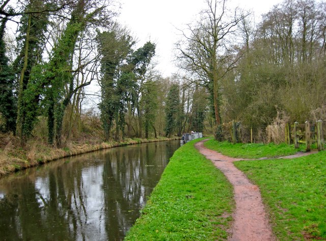
Image: © P L Chadwick Taken: 2 Apr 2010
The view southwest from Caunsall Bridge, which carries the minor road known as Caunsall Road across the canal. Image
Images are licensed for reuse under creativecommons.org/licenses/by-sa/2.0
Image Location
Latitude
52.42562
Longitude
-2.214957