North of the junction
Introduction
The photograph on this page of North of the junction by Graham Horn as part of the Geograph project.
The Geograph project started in 2005 with the aim of publishing, organising and preserving representative images for every square kilometre of Great Britain, Ireland and the Isle of Man.

There are currently over 7.5m images from over 14,400 individuals and you can help contribute to the project by visiting https://www.geograph.org.uk
North of the junction
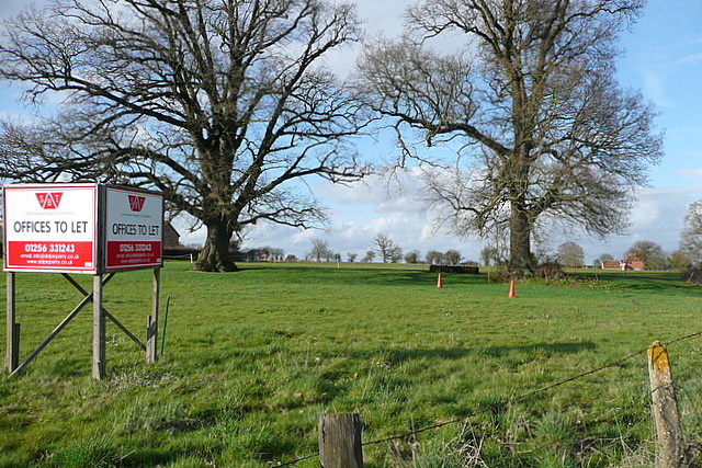
Image: © Graham Horn Taken: 2 Apr 2010
The five-way junction at Fair Oak Green is behind us. This land is grassland, not used at present but probably normally housing horses.
Images are licensed for reuse under creativecommons.org/licenses/by-sa/2.0
Image Location
Latitude
51.341276
Longitude
-1.040507