Thorpe bottom lock.
Introduction
The photograph on this page of Thorpe bottom lock. by steven ruffles as part of the Geograph project.
The Geograph project started in 2005 with the aim of publishing, organising and preserving representative images for every square kilometre of Great Britain, Ireland and the Isle of Man.

There are currently over 7.5m images from over 14,400 individuals and you can help contribute to the project by visiting https://www.geograph.org.uk
Thorpe bottom lock.
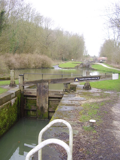
Image: © steven ruffles Taken: 3 Apr 2010
This section of the Chesterfield canal must make for a long day for narrowboat users.
Images are licensed for reuse under creativecommons.org/licenses/by-sa/2.0
Image Location
Latitude
53.32807
Longitude
-1.19653