Mill Hill, Ashford Road, Kingsnorth in 1993
Introduction
The photograph on this page of Mill Hill, Ashford Road, Kingsnorth in 1993 by John Baker as part of the Geograph project.
The Geograph project started in 2005 with the aim of publishing, organising and preserving representative images for every square kilometre of Great Britain, Ireland and the Isle of Man.

There are currently over 7.5m images from over 14,400 individuals and you can help contribute to the project by visiting https://www.geograph.org.uk
Mill Hill, Ashford Road, Kingsnorth in 1993
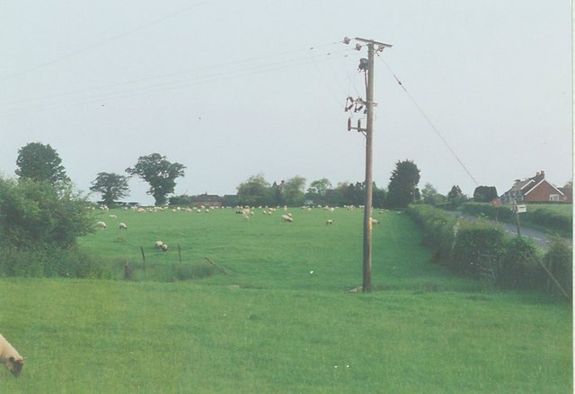
Image: © John Baker Taken: Unknown
The meadow beyond the electricity pole is now the site of Myrtle Court see http://www.geograph.org.uk/photo/1691576
Images are licensed for reuse under creativecommons.org/licenses/by-sa/2.0
Image Location
Latitude
51.117209
Longitude
0.858517