Railway to Romford
Introduction
The photograph on this page of Railway to Romford by Glyn Baker as part of the Geograph project.
The Geograph project started in 2005 with the aim of publishing, organising and preserving representative images for every square kilometre of Great Britain, Ireland and the Isle of Man.

There are currently over 7.5m images from over 14,400 individuals and you can help contribute to the project by visiting https://www.geograph.org.uk
Railway to Romford
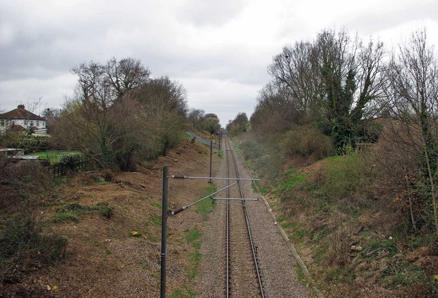
Image: © Glyn Baker Taken: 2 Apr 2010
This is the single track railway from Upminster to Romford, before nationalisation it provided the link between LNER and LMS services to the east of London. This picture was taken looking towards Image from the railway bridge in Wingletye Lane
Images are licensed for reuse under creativecommons.org/licenses/by-sa/2.0
Image Location
Latitude
51.562775
Longitude
0.23303