Grownups Allowed!
Introduction
The photograph on this page of Grownups Allowed! by Glyn Baker as part of the Geograph project.
The Geograph project started in 2005 with the aim of publishing, organising and preserving representative images for every square kilometre of Great Britain, Ireland and the Isle of Man.

There are currently over 7.5m images from over 14,400 individuals and you can help contribute to the project by visiting https://www.geograph.org.uk
Grownups Allowed!
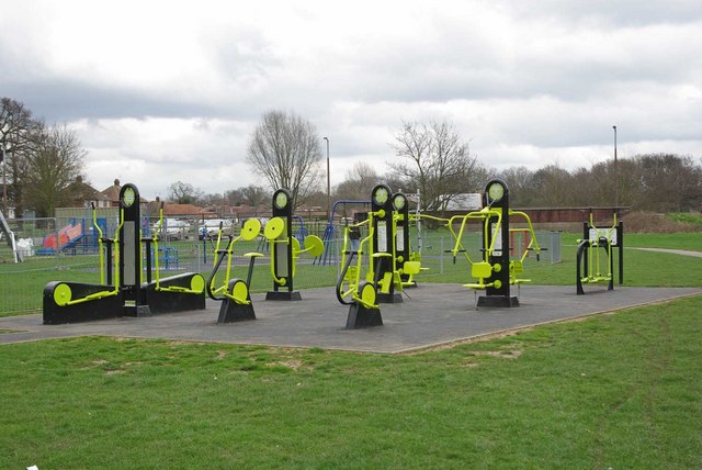
Image: © Glyn Baker Taken: 2 Apr 2010
Havering Council has provided playthings so Mums and Dads don’t feel left out when the kiddies are playing on their rides! These were on the edge the Ingrebourne Valley local nature reserve near Hacton Lane.
Images are licensed for reuse under creativecommons.org/licenses/by-sa/2.0
Image Location
Latitude
51.55066
Longitude
0.231715