Court House Farm and church, Portishead
Introduction
The photograph on this page of Court House Farm and church, Portishead by Derek Harper as part of the Geograph project.
The Geograph project started in 2005 with the aim of publishing, organising and preserving representative images for every square kilometre of Great Britain, Ireland and the Isle of Man.

There are currently over 7.5m images from over 14,400 individuals and you can help contribute to the project by visiting https://www.geograph.org.uk
Court House Farm and church, Portishead
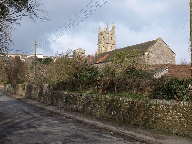
Image: © Derek Harper Taken: 1 Apr 2010
Looking up Church Road South from the High Street. The unusual hexagonal tower of the farmhouse can be seen on the left http://www.imagesofengland.org.uk/Details/Default.aspx?id=394004&mode=adv . Nearer is the large C19 barn http://www.imagesofengland.org.uk/details/default.aspx?id=394005 . St Peter's church http://www.imagesofengland.org.uk/Details/Default.aspx?id=394001&mode=adv is in Image
Images are licensed for reuse under creativecommons.org/licenses/by-sa/2.0
Image Location
Latitude
51.479523
Longitude
-2.770341