Brampton Way, Portishead
Introduction
The photograph on this page of Brampton Way, Portishead by Derek Harper as part of the Geograph project.
The Geograph project started in 2005 with the aim of publishing, organising and preserving representative images for every square kilometre of Great Britain, Ireland and the Isle of Man.

There are currently over 7.5m images from over 14,400 individuals and you can help contribute to the project by visiting https://www.geograph.org.uk
Brampton Way, Portishead
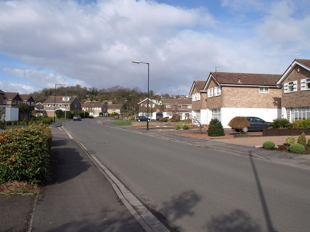
Image: © Derek Harper Taken: 1 Apr 2010
This is the principal road through a large housing estate on the south side of the town. In the background is Fore Hill.
Images are licensed for reuse under creativecommons.org/licenses/by-sa/2.0
Image Location
Latitude
51.477753
Longitude
-2.765991