A bridleway leading to Cuerden Valley
Introduction
The photograph on this page of A bridleway leading to Cuerden Valley by Ann Cook as part of the Geograph project.
The Geograph project started in 2005 with the aim of publishing, organising and preserving representative images for every square kilometre of Great Britain, Ireland and the Isle of Man.

There are currently over 7.5m images from over 14,400 individuals and you can help contribute to the project by visiting https://www.geograph.org.uk
A bridleway leading to Cuerden Valley
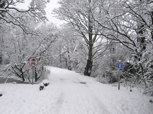
Image: © Ann Cook Taken: 5 Jan 2010
This is immediately beyond the turning from the B5256.
Images are licensed for reuse under creativecommons.org/licenses/by-sa/2.0
Image Location
Latitude
53.704735
Longitude
-2.647855