Map of Kenley Airfield, Surrey
Introduction
The photograph on this page of Map of Kenley Airfield, Surrey by Peter Trimming as part of the Geograph project.
The Geograph project started in 2005 with the aim of publishing, organising and preserving representative images for every square kilometre of Great Britain, Ireland and the Isle of Man.

There are currently over 7.5m images from over 14,400 individuals and you can help contribute to the project by visiting https://www.geograph.org.uk
Map of Kenley Airfield, Surrey
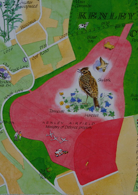
Image: © Peter Trimming Taken: 1 Apr 2010
Part of the map, showing the general layout of the airfield, within Kenley Common. Free public access to the green area, limited access to the light pink area (no access during flying activities). The map is located on this board: Image
Images are licensed for reuse under creativecommons.org/licenses/by-sa/2.0
Image Location
Latitude
51.300392
Longitude
-0.094616