Crossroads north of Seckington
Introduction
The photograph on this page of Crossroads north of Seckington by Trevor Rickard as part of the Geograph project.
The Geograph project started in 2005 with the aim of publishing, organising and preserving representative images for every square kilometre of Great Britain, Ireland and the Isle of Man.

There are currently over 7.5m images from over 14,400 individuals and you can help contribute to the project by visiting https://www.geograph.org.uk
Crossroads north of Seckington
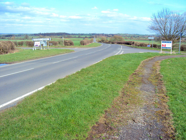
Image: © Trevor Rickard Taken: 27 Mar 2010
Looking east along the B5493. Hangmans Lane crosses left-to-right.
Images are licensed for reuse under creativecommons.org/licenses/by-sa/2.0
Image Location
Latitude
52.665668
Longitude
-1.614474