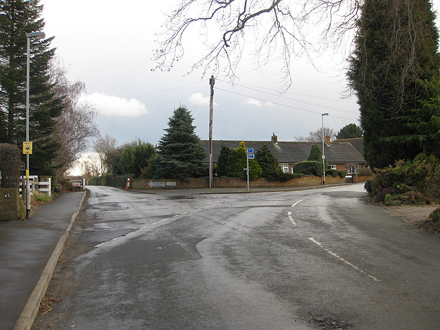
Two dead ends
Introduction
The photograph on this page of Two dead ends by Pauline E as part of the Geograph project.
The Geograph project started in 2005 with the aim of publishing, organising and preserving representative images for every square kilometre of Great Britain, Ireland and the Isle of Man.
There are currently over 7.5m images from over 14,400 individuals and you can help contribute to the project by visiting https://www.geograph.org.uk

Image: © Pauline E Taken: 22 Mar 2010
The road to the right, The Balk, becomes Sike Lane and ends at Haw Park Bridge over the disused Barnsley Canal. The left turn leads to Walton Hall, Waterton Park Hotel and Waterton Park Golf Club. The blue signs mark the route of the Trans Pennine Trail, a route for walkers, cyclists and horse riders which links the North and Irish Seas. It passes through the Pennines, alongside rivers and canals and through some of the most historic towns and cities in the North of England.

