Farmland near Poole Bank
Introduction
The photograph on this page of Farmland near Poole Bank by Espresso Addict as part of the Geograph project.
The Geograph project started in 2005 with the aim of publishing, organising and preserving representative images for every square kilometre of Great Britain, Ireland and the Isle of Man.

There are currently over 7.5m images from over 14,400 individuals and you can help contribute to the project by visiting https://www.geograph.org.uk
Farmland near Poole Bank
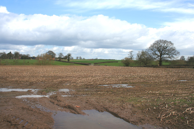
Image: © Espresso Addict Taken: 1 Apr 2010
Undulating farmland south of Poole Bank. In the distance (line of trees; left) is a narrow valley containing an unnamed brook (tributary of the River Weaver), with cattle pasture rising beyond (in Image). View from Poole Hill Road, near the junction with Wettenhall Road
Images are licensed for reuse under creativecommons.org/licenses/by-sa/2.0
Image Location
Latitude
53.09053
Longitude
-2.540935