Approaching Micheldever Station
Introduction
The photograph on this page of Approaching Micheldever Station by Graham Horn as part of the Geograph project.
The Geograph project started in 2005 with the aim of publishing, organising and preserving representative images for every square kilometre of Great Britain, Ireland and the Isle of Man.

There are currently over 7.5m images from over 14,400 individuals and you can help contribute to the project by visiting https://www.geograph.org.uk
Approaching Micheldever Station
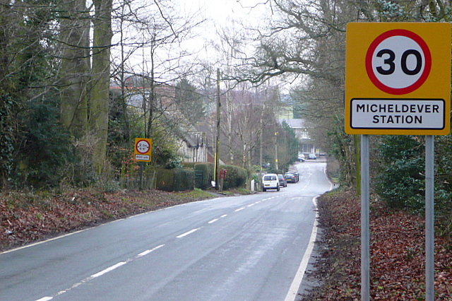
Image: © Graham Horn Taken: 14 Feb 2010
This is Andover Road, which was the name of the station when it was first opened in 1840. Later Andover had a railway line of its own so the station was renamed Micheldever, but the area around is called Micheldever Station to differentiate it from the village which is three miles south.
Images are licensed for reuse under creativecommons.org/licenses/by-sa/2.0
Image Location
Latitude
51.182128
Longitude
-1.266004