Andover - Eastfield House
Introduction
The photograph on this page of Andover - Eastfield House by Chris Talbot as part of the Geograph project.
The Geograph project started in 2005 with the aim of publishing, organising and preserving representative images for every square kilometre of Great Britain, Ireland and the Isle of Man.

There are currently over 7.5m images from over 14,400 individuals and you can help contribute to the project by visiting https://www.geograph.org.uk
Andover - Eastfield House
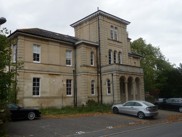
Image: © Chris Talbot Taken: 3 Oct 2009
This building used to be a home for the blind and after that a home for the elderly, it has now been converted into flats.
Images are licensed for reuse under creativecommons.org/licenses/by-sa/2.0
Image Location
Latitude
51.208415
Longitude
-1.471725